
2016 Survey Results
|
2016 Trail usage estimates
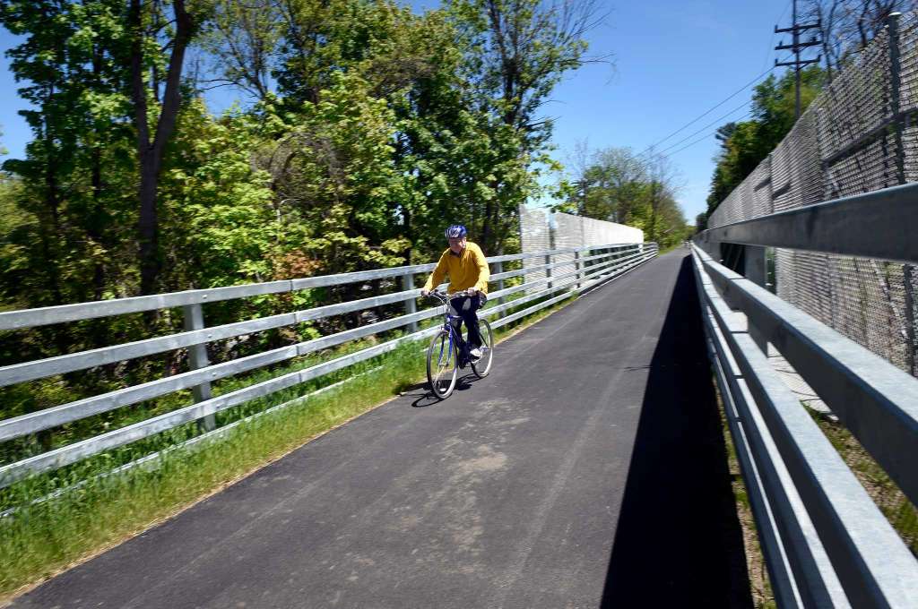
pictured above: Albany County Heldeberg-hudson rail-trail, Bethlehem
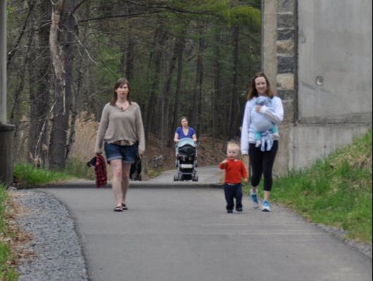
pictured above: spring run trail, saratoga springs
|
The Capital District Transportation Committee (CDTC) is the designated Metropolitan Planning Organization (MPO) for the Albany-Schenectady-Troy and Saratoga Springs metropolitan areas. This includes Albany, Rensselaer, Saratoga, and Schenectady counties, excluding Moreau and South Glens Falls. The CDTC is a forum for local elected officials and transportation representatives to share ideas and make decisions about major transportation investments. MPOs are designated by the governor of each state for every urban area with at least 50,000 residents.
One of the major products developed by MPOs is a regional transportation plan. This plan guides transportation decision making and activities and recommends solutions to important regional issues such as land use, air quality, energy, economic development, commerce, and quality of life. CDTC’s regional transportation plan is called New Visions 2040. This plan was adopted in September 2015 and includes a 20-year policy vision for the transportation system, which will direct planning and capital investments in the Capital Region. New Visions goals include expanding access to bicycle and pedestrian infrastructure, as well as the long-term goal of developing a regional, connected, greenway. The first Regional Trail Perspectives was conducted in 2006 and included data collection for 3 multi-use trails. In 2016 CDTC expanded data collection efforts to 9 multi-use trails totaling over 65 miles. The trails were chosen because they were at least 1 mile in length, paved, and provided a mix of previously surveyed trails, newly built trails and trails not previously surveyed. They also were identified as vital and regionally-significant, off-road connections for non-motorized users. The data collected as part of this project provides the opportunity for CDTC to measure trail use, survey trail users and resident attitudes, and assess trends. THE PROJECT KICKED OFF IN JUNE 2016 AND INCLUDED TWO PARTS – TRAIL COUNTS AND TRAIL USER SURVEYS. CDTC CONTRACTED WITH PARKS & TRAILS NEW YORK (PTNY) TO CONDUCT BOTH AUTOMATED AND MANUAL TRAIL COUNTS AT 22 LOCATIONS. CDTC USED THE NATIONAL BIKE AND PEDESTRIAN DOCUMENTATION PROJECT (NBPDP) PROTOCOL TO DETERMINE TRAIL COUNT ESTIMATES. DETAILS ON THE NBPDP CAN BE FOUND AT HTTP://BIKEPEDDOCUMENTATION.ORG/ OR IN PTNY’S 2016 CAPITAL DISTRICT TRAIL USERS COUNT REPORT. PTNY INSTALLED ECO-COUNTER PYRO BOXES FOR THE AUTOMATED COUNTS AND TRAINED VOLUNTEERS FOR THE MANUAL COUNTS. OVER 1.6 MILLION TRAIL VISITS WERE ESTIMATED BASED ON THE DATA COLLECTED. VOLUNTEERS BEGAN CONDUCTING SURVEYS AT OR NEAR THE SAME 22 LOCATIONS WHERE COUNTS WERE CONDUCTED. IN ADDITION TO THE USER SURVEYS CONDUCTED ON THE TRAIL BY VOLUNTEERS, CDTC DEVELOPED A LONGER, ONLINE SURVEY. VOLUNTEERS COLLECTED 404 SURVEYS OVER 43, 2-HOUR SURVEY SESSIONS (86 HOURS) AND 132 ONLINE SURVEYS WERE COMPLETED. TRAILS HAVE NEIGHBORS AND THEIR FEEDBACK IS IMPORTANT TOO. CDTC MAILED OVER 500 SURVEYS TO PROPERTY OWNERS OF RESIDENCES ADJACENT TO THE TRAILS, AND RECEIVED 128 COMPLETED SURVEYS, OR JUST OVER 23%. THE PROJECT INITIALLY INCLUDED THE INTENT TO SURVEY BUSINESSES ADJACENT TO THE 9 TRAILS. HOWEVER, AS CDTC REVIEWED REAL PROPERTY DATA, IT BECAME CLEAR THERE WERE TOO FEW RETAIL ESTABLISHMENTS ADJACENT TO MULTI-USE TRAILS IN THE CAPITAL REGION, TO COLLECT ANY VALUABLE FEEDBACK REGARDING THE TRAILS’ IMPACT ON BUSINESS. CDTC REACHED OUT TO THE AGENCIES AND ORGANIZATIONS, INCLUDING MUNICIPALITIES, WHO OWN AND/OR MAINTAIN TRAILS FOR INSIGHT ON TRAIL MAINTENANCE PRACTICES. SEVEN SURVEYS WERE COMPLETED AND RETURNED. |
Key findings
- There are an estimated 1.6 million trail visits annually.
- Total trail visits were up about 24% since 2006.
- Over 60% of trail visits are to the Capital District’s primary trails: the Zim Smith, Uncle Sam, and Mohawk-Hudson Bike Trails.
- Lions Park in Niskayuna, which is on the Mohawk-Hudson Bike-Hike Trail, is the most visited trail location in the region.
- The highest percent of trail visits occur in August (14%).
- Peak weekday usage is Mondays between 3:00 – 6:00 PM.
- Peak weekend usage is between 9:00 AM - 12:00 PM.
|
Next Steps
The data collected for the Regional Trail Perspectives will be used to update the Capital Region Greenway Plan. CDTC’s goal is to increase the number of Capital Region residents with access to safe walking and bicycling infrastructure, which includes trails. A continuous, connected greenway connecting all four Capital Region counties has been a CDTC “Big Ticket” initiative since New Visions 2030. Building this vision continues to be a regional priority. The updated Greenway Plan will identify gaps in the existing trail network and opportunities for closing them. The plan will also identify new opportunities to develop multi-use trails and connections. Trails provide opportunities for economic development, access to recreation, health, and exercise, and also a vital off-road connection for non-motorized transportation. In the planning process we will also try to evaluate the economic impact trails have had in our region and the potential impact of a completed system. Involving the public and key stakeholders will be essential in developing a realistic but ambitious plan with funding partners and goals for implementation.
|
If you are a frequent trail user join CDTC and their partners in tagging your photos of your visit on Facebook and Twitter with #518Trails.
view or download the full trail count & regional trail PERSPECTIVES reports on the Final Documents page.
trail profiles, including count data & survey results from each of the 9 trails included in the study can be viewed or downloaded on the Trail Profiles page.
trail profiles, including count data & survey results from each of the 9 trails included in the study can be viewed or downloaded on the Trail Profiles page.
 RSS Feed
